Wouldn’t it be great to have a personal weather forecaster on trail with you at all times?
Guess what? You can, and that person could be you!
Knowing basic cloud formations and the associated weather phenomena as well as other atmospheric indicators can make a huge difference in your ability to know what’s coming weather wise (even up to 24 hours in advance). Bonus: Your hiking partners will be impressed.
My father was a meteorologist in the Navy. Beyond that, he was a student of nature. He lived over 50 years in one place and became an expert on the microclimate that was our farm. However, a lot of the observations he taught me there have been applicable when hiking all over the world. When I was a child, he taught me to observe the sky—especially cloud types—and nature to know what was going to happen.
As I got older, I watched AM Weather with him, and he taught me about isobars, stationary fronts, adiabatic lift, etc. I took a meteorology course in college as my science class. I never became a meteorologist, but my ability to read the sky has been crucial in my decision-making in the backcountry.
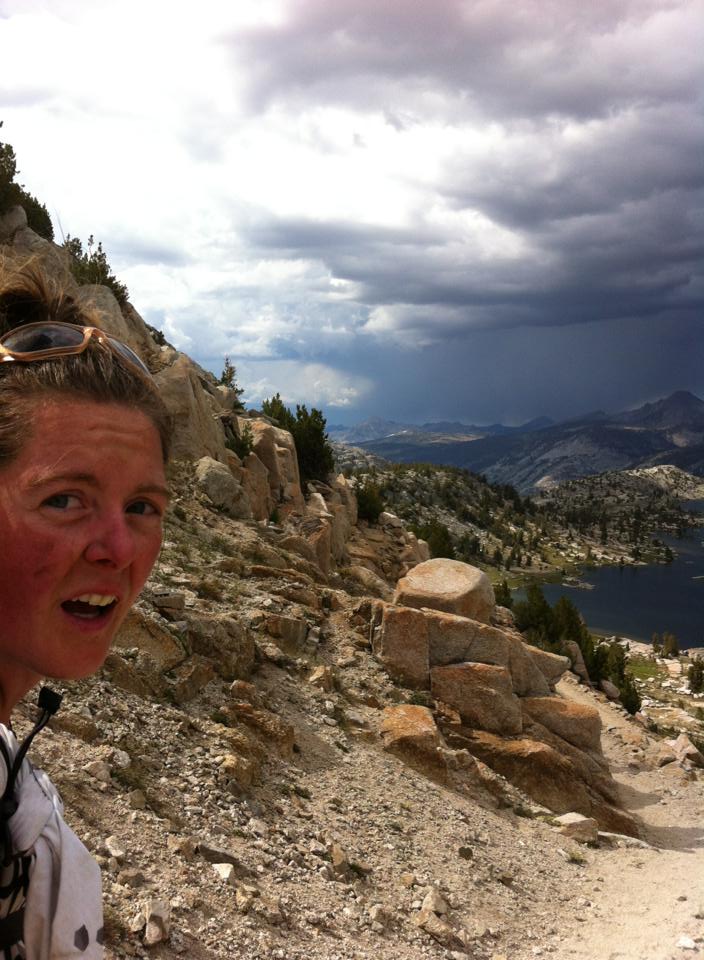
More than once I’ve had to decide whether or not to proceed up in elevation based on approaching weather. In the High Sierra in 2013 on my Pacific Crest Trail Fastest Known Time, I was able to calculate the speed of the approaching storm and outrun it over the pass.
In 2006, on my Continental Divide Trai thru-hike, I hunkered down under a pine tree deep in Colorado’s Weminuche Wilderness and watched as snow dropped down at over 1” per hour. Thunder cracked in the sky and I consulted my maps. My route was supposed to ascend 3000 feet. I found a trail that descended instead and reconnected with the CDT later. That storm ended up dumping 4 feet of snow.

Here are some tips for where to start your backcountry meteorology studies:
Learn basic cloud formations and what weather they preclude.
Wikipedia is a great resource. These common clouds are a great place to start:
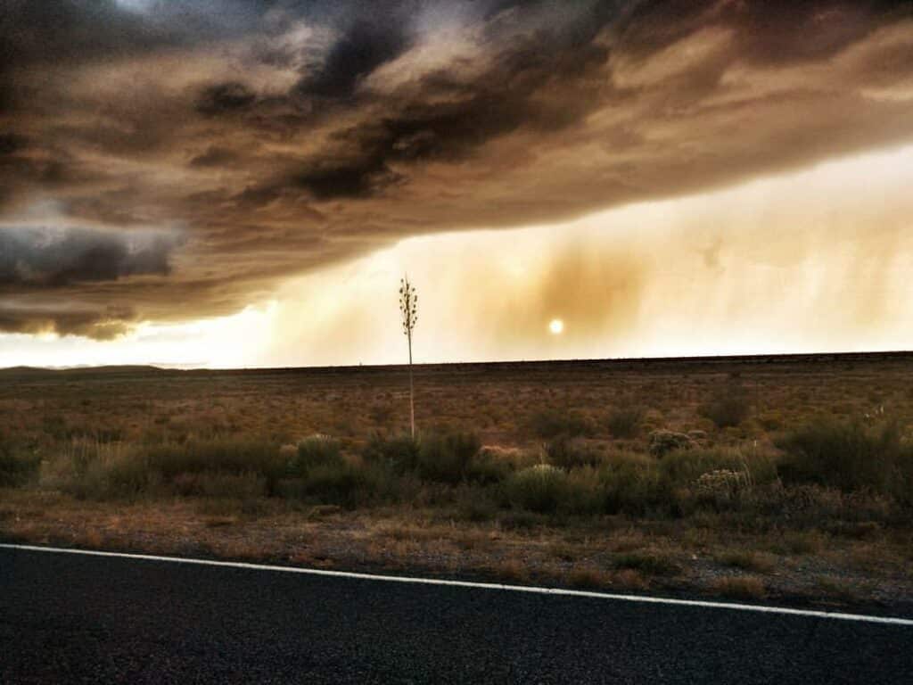
- Cumulonimbus: Can mean anything from fair weather to imminent storms. The key is knowing the different shapes.
- Mammatus: Indicate imminent storms and frequently severe weather
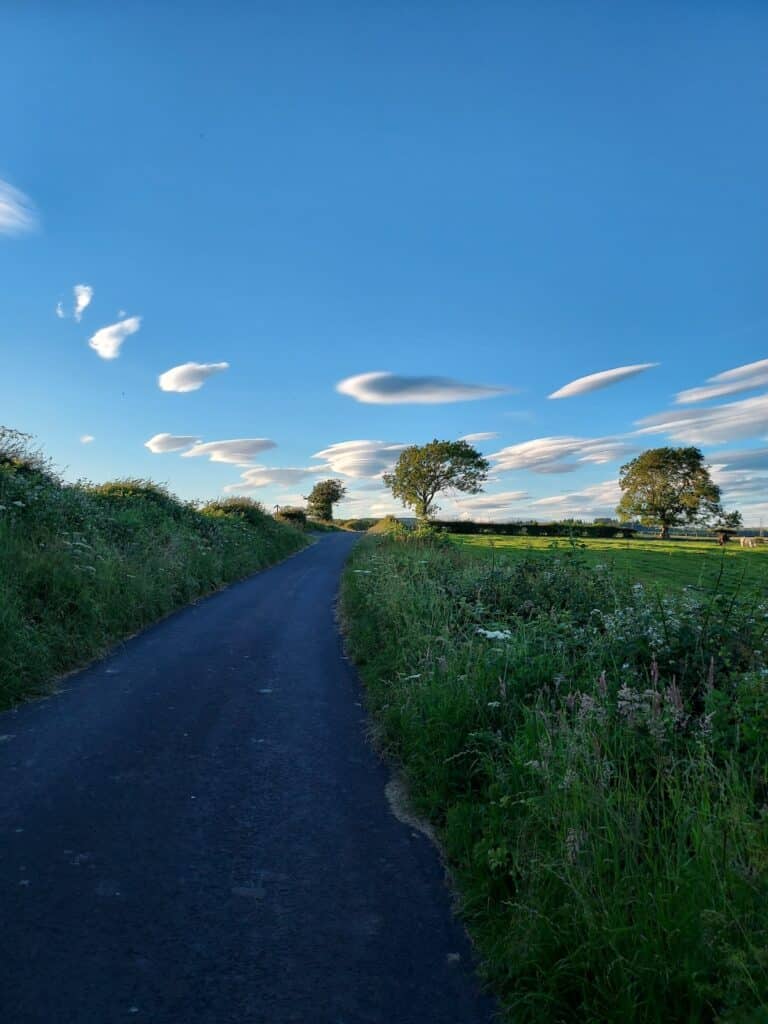
- Lenticular: Usually form over mountains when there are strong winds and moisture up high. Can indicate an incoming precipitation-heavy front within the next day.
- Cirrus uncinus (mare’s tails): These usually indicate incoming precipitation within the next 24 hours.
Other meteorological phenomena that can be helpful to understand:
- What does it mean when winds shift directions suddenly (windshear)?
- Why is your altimeter suddenly off?
- Rings around the moon and other peripheral observations. (What are the birds doing? Squirrels and other animals?) These can take decades to learn the nuance of, but when you know, you’ll know.

Additional Resources:
- In the USA, NOAA Weather’s pinpoint forecast (not zip code, click the map!) tends to be the most accurate for mountain weather in my experience.
- Some Personal Locator Beacons provide forecasts for your location as part of their service plans. These can be useful if you’re out for long stretches without access to updated forecasts.
- An entertaining and thorough read: The Cloudspotter’s Guide: The Science, History, and Culture of Clouds by Gavin Pretor-Pinney
- For more tips on how to use climate and weather data for trip planning, risk assessment, and gear selection, pick up a copy of my book Adventure Ready from https://shopwordsfromthewild.square.site
Understanding the weather is an often overlooked aspect of situational awareness. By learning a few concepts you’ll be well equipped to know what’s happening around you and what to expect. This knowledge can help keep you safe (and dry)!


