Main Menu
Our Mission is to increase women’s participation and opportunity in trail running and hiking through inspiration, education and empowerment.


Homepage / Words from the Wild / Trail Spotlight: Pacific Crest Trail

Share This Article!
Location: Traverses the mountain ranges of California, Oregon, and Washington State (Sierra and Cascade Ranges)
Length: 2,600 Miles
Average Hiking Duration: 4-6 months
Permits: Many use and camping permits from a variety of state and federal land management agencies. See the full list here: https://www.pcta.org/discover-the-trail/permits/local-permits/ You may also need a California specific fire permit. If you choose to end a northbound hike by entering Canada you’ll need a Canada entry permit.
Direction of Travel: Traditionally, most thru-hikers go northbound, although a significant portion now choose southbound. The flip-flop (completing part of the trail in one direction before going to another point and finishing the hike from there) is also becoming more popular to combat complications from wildfires and competition for the permits.
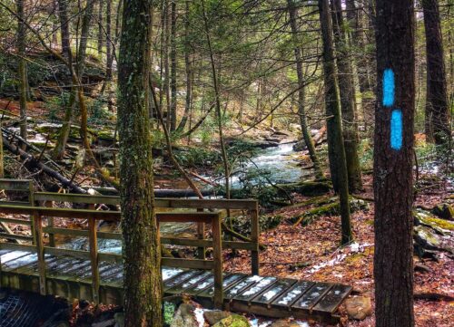
Navigation: There are official guidebooks and map sets available from pcta.org as well as smartphone apps.
Brief Description:
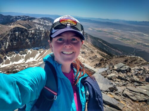
The Pacific Crest Trail is well known as a showcase trail of some of the most pristine wilderness the contiguous United States has to offer. It is generally broken down into five ecologically distinct regions, each with their own beauty and challenges.
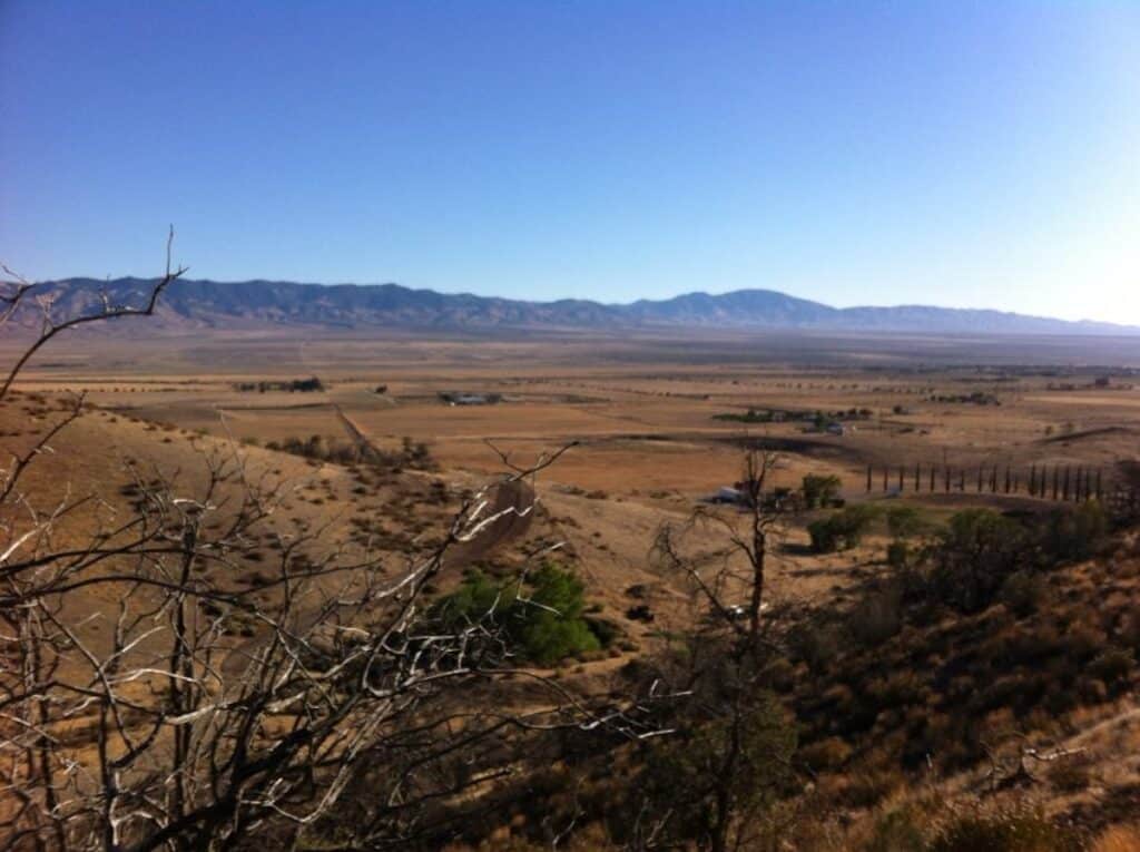
Southern California is predominantly desert terrain with intermittent ascents of sky island mountains up to 10,000 feet. Water is scarce and temperatures are extreme, ranging from triple digits in the daytime to below freezing at night.
The High Sierra is perhaps the best known portion of the trail. Almost entirely within the three national parks of Sequoia, Kings Canyon, and Yosemite, this segment of trail is at high elevation. It crosses the high point of the entire trail (over 13,000 feet) and passes near the highpoint of the contiguous United States (Mount Whitney). Resupply options are limited in this section since it travels over 200 miles between road access points.
Northern California is a transition zone between the high mountains of the Sierra and the volcanic landscapes of the Cascade Range. It is dominated by thick forests and deep river valleys.
Oregon is predominantly volcanic desert, meaning that there are often long stretches without a lot of surface water. Where it is plentiful, it is usually in the form of lakes and ponds. The Pacific Crest Trail winds a relatively mellow path from volcano to volcano across the state. The northern end is at the majestic Columbia River where the Pacific Crest Trail crosses a dramatic steel girder bridge at Cascade Locks called Bridge of the Gods.
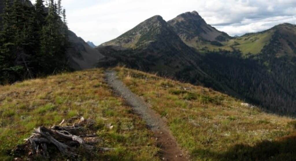
Through Washington the Pacific Crest Trail also tracks near the major volcanoes, however the landscape is more lush. Surface water is prevalent and the elevation gain and loss is the most significant that is seen since the High Sierra due to heavy glaciation. Summer months are very pleasant, but autumn hikers will encounter significant rainfall. Southbound hikers may have to contend with large amounts of lingering snowpack from the previous winter.
Share This Article!

April 12th & 13th 2024
Lake Sonoma, California
50 Mile | Marathon | Half-Marathon


Come join TS Founder Gina for Northern California's best trail party!
Trail Sisters® is a registered trademark of Trail Sisters LLC | © 2022 Trail Sisters LLC