The Foothills Trail at a Glance
Location: Mostly traverses the mountainous Appalachian foothills of upstate South Carolina with a brief section in North Carolina.
- Southern Terminus: Oconee State Park, South Carolina
- Northern Terminus: Table Rock State Park, South Carolina
Length: 77 Miles
Average Hiking Duration: 5-10 days
Permits: You will need to register your hike with either of the state parks at the termini or at other kiosks you may encounter, however there is no permit or quota to hike the trail. If you’re leaving a car at either terminus you will also need to pay entry and parking fees. Contact the parks for more details:
- Oconee State Park: 864-638-5353
- Table Rock State Park: 864-878-9813
Direction of Travel: While there is no specific direction of travel, I think southbound might be slightly more popular. I didn’t use the guidebook, but if it is written in that direction it could be why. Personally, I opted for a northbound thru-hike in order to end with the South Carolina state high point and the lovely views from Table Rock.
Navigation: The Foothills Trail Conference sells a guidebook and maps as well as provides detailed data on their website: https://foothillstrail.org/maps-coordinates-2/
Brief Description:
The Foothills Trail is a truly hidden gem, often overshadowed by the southern Appalachians and much more well-known Benton MacKaye, Appalachian, and Pinhoti Trails as well as Great Smoky Mountains National Park. As such, expect a good deal of solitude while hiking it. I saw no other thru-hikers on my trip and only a handful of other trail users outside the state parks.
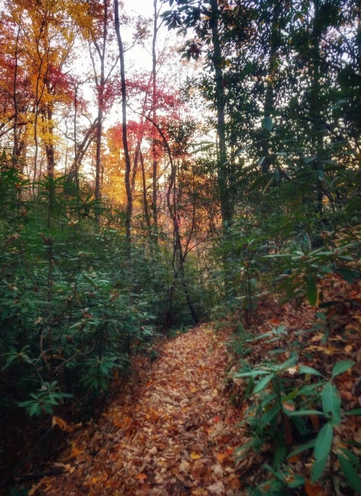
The trail meanders through hardwood forest in the foothills of the Appalachians. The peaks are still mountainous, but much more rolling and gentler than trails farther west. Despite the generally lower elevation and rounded summits there are quite a few steep sections in and out of drainages. Some of these ascents and descents are piggy-backed making for a challenging roller coaster of elevation gain and loss!
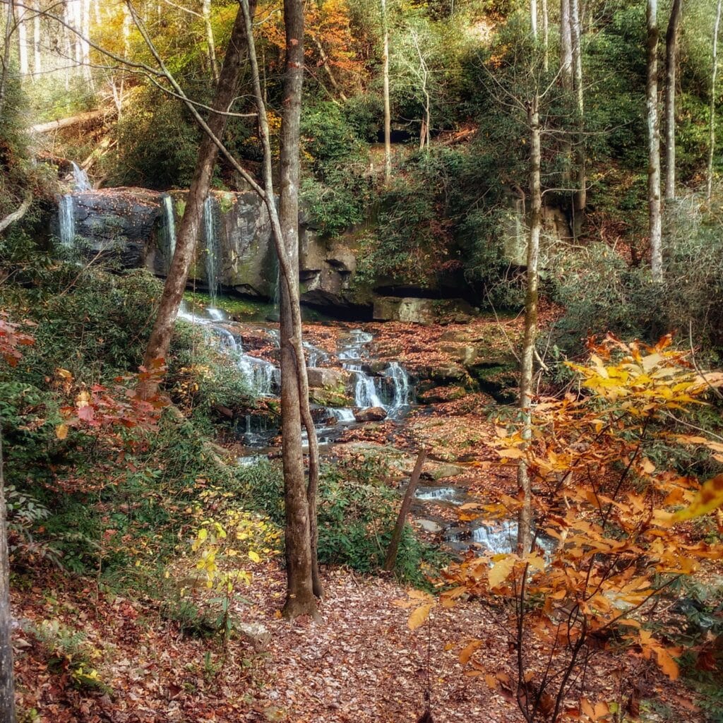
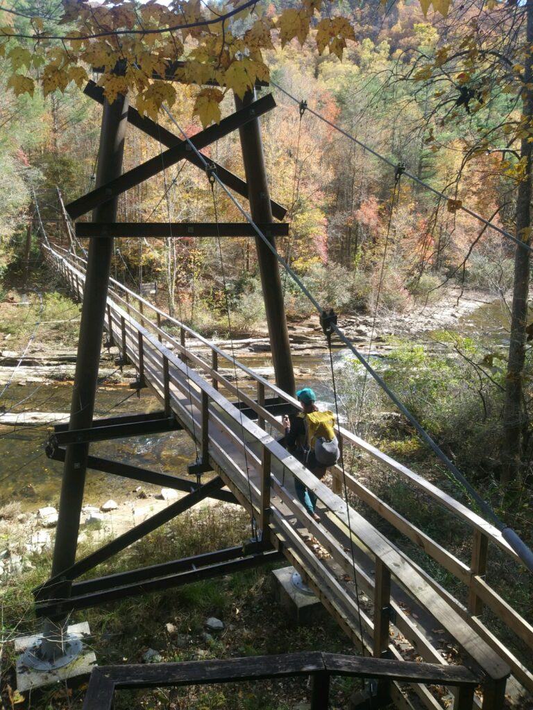
The forest hiking is punctuated by river gorges and frequent waterfalls, iconic span bridges and wooden steps add to the charm. There are no realistic resupply options so plan to carry your food for the entire trip.
With its location in the south and at a much lower elevation than the Appalachian Mountains, the Foothills Trail can be hiked much earlier and later than other trails in the region. I hiked in November and was treated to copious sunshine and delightfully crisp nights. With snow being a rarity, it can be hiked even in the dead of winter (although overnight lows do dip below freezing). Summers can be hot and humid and ticks would be a concern during that season.
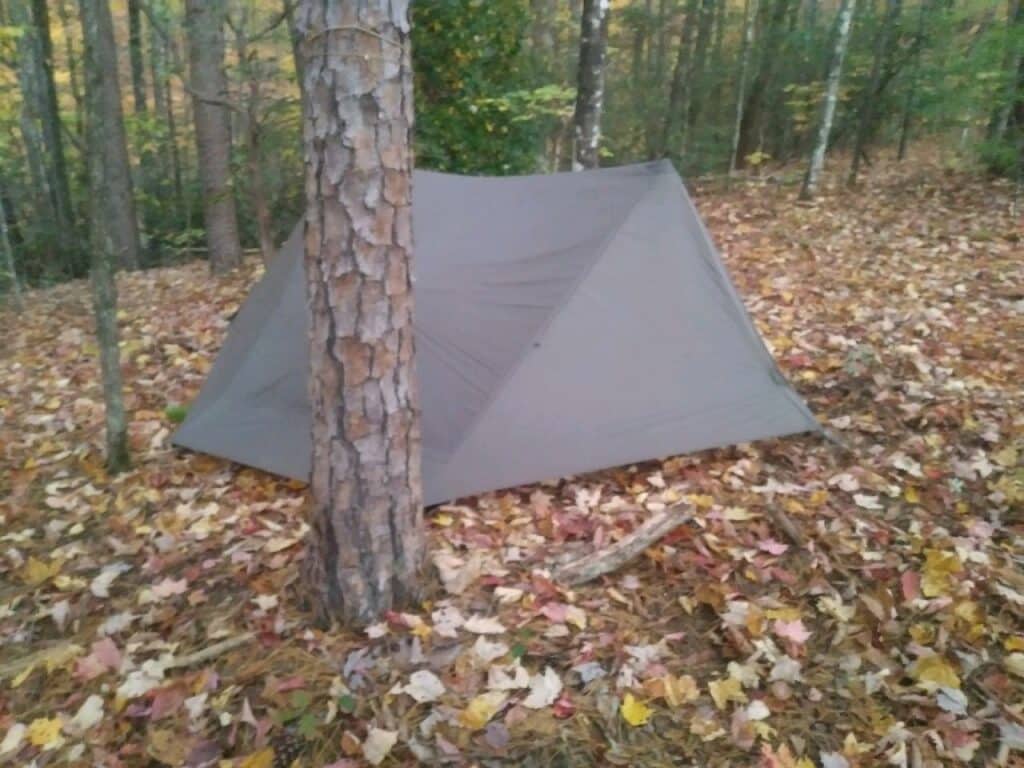
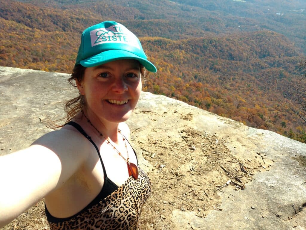
Dispersed camping is plentiful along the route as is water. There are many viewpoints worth lingering at, including the short side trip to Sassafras Mountain. While Sassafras tops out at 3,554 ft (1,083 m), but there is a nice observation tower on the summit and panoramic views of both North Carolina and South Carolina.
The Foothills Trail is almost entirely in South Carolina as it follows the ridges that form the border with North Carolina. There is a brief section where it is completely in North Carolina through land managed by Duke Energy along a portion of Lake Jocassee. Throughout the trail is well marked and blazed in white, the same as the iconic ones from the Appalachian Trail. Despite it’s diminutive length, it is a challenging trek, suitable for preparing for longer adventures.
More information, including contact information for shuttle providers, can be found at https://foothillstrail.org/
