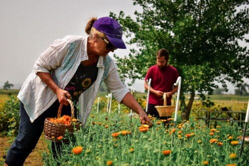
We’ve all had the experience of scrolling through Instagram, seeing pictures of perfect stretches of scenic single track reaching to the horizon and wondering, “How did that person know where to go?” I think we can be guilty of running common or popular routes, whether it’s our after-work loop or the Grand Canyon rim-to-rim-to-rim. We tend to flock to places frequented by other runners. That’s great if you want to track your progress by comparing performances on the same route. But what about all the areas, trails and adventures left to be discovered and enjoyed? Today I’m here to talk about tools for planning those adventure runs.
As a cartographer that makes trail maps, I spend a lot of time thinking about trail systems. I do a lot of the field research for making our maps by running trails. Sometimes that works out great and I discover trails that are perfect for running. Sometimes that means I end up fighting my way through brushy overgrown trails or climbing over downed trees wondering when the last time someone used the trail was. All that means is that I’ve got a pretty solid system for planning, researching and navigating routes that not many other people have ever done. Below are some of my favorite tools and resources:
The Lost Art of Dreaming Over Maps
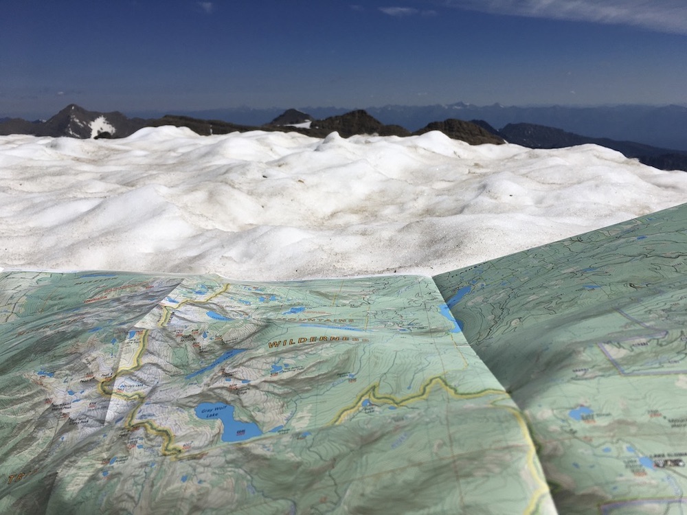
Most people think of maps as a tool for finding yourself when you’re lost, but I think of them as a tool for planning first and navigation second. When was the last time you looked at a map of the place you live? Not a little piece of a map on your phone screen, but a paper map that showed the entire area where you could trace your finger along creeks, up and over ridges and see how the pieces of the geography you look at every day fit together. Did you notice something new, like a trail you haven’t yet explored or that a particular creek fits between two ridge lines in a way you hadn’t noticed before? My job is basically to look at maps all day and I still notice new things every time I sit down and really look at one. I think my best ideas for loops or one-way traverses come from looking at maps and seeing how trails and the landscape fit together. Is there a way to link two drainages by doing an off-trail traverse along the ridge line between them? Is there a long ridge line just begging to be followed from end to end?
Of course, to be able to look at it on a map the map has to exist, and there are a lot of places that don’t have very good paper maps. Even if there isn’t a map of, say, a specific mountain range you want to explore, there is probably a map of the whole national forest which can at least give you a lay of the land and can help you to figure out how to get to the trailhead.
Online Maps
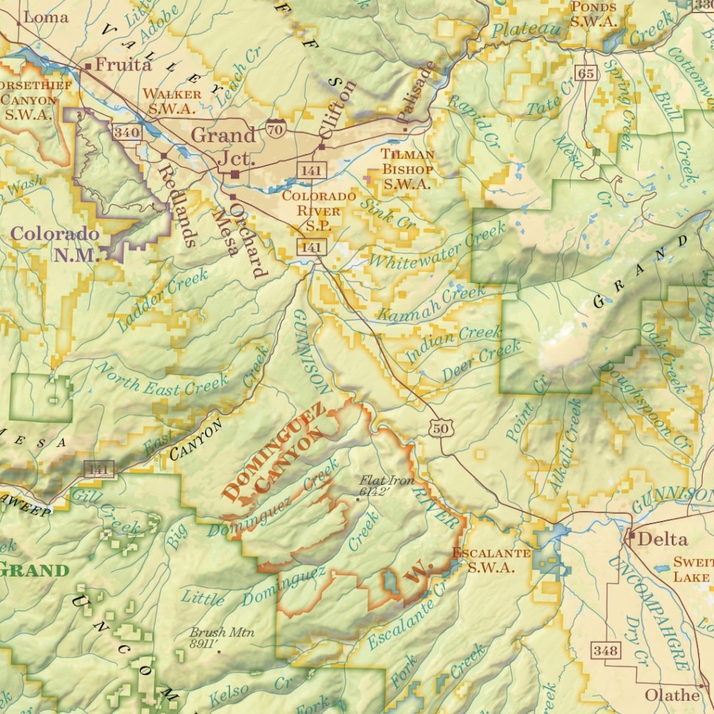
When I first started making trail maps there weren’t many options for looking at trail maps or route planning online. You used to need some pretty technical skills to look at a planned route with satellite imagery or to measure distance and elevation change. Now there are several options for doing all of that. My favorite is Hillmap. The default setting is a split-screen showing a Google base map next to satellite imagery for the same area. You can toggle between imagery, Cal Topo, Cal Topo FS, google street, Google terrain and other options. You can view the same route on two types of maps or view your area of interest in a single window. You can also create routes or waypoints and download them as .gpx files, which can be uploaded to your phone or GPS. Hillmap also shows steepness shading which is really helpful for planning off-trail routes. I like to have one side of my screen showing Cal Topo FS (if it’s available, it’s basically USGS Quadrangle maps but is primarily available for areas that are Forest Service) and the other side showing imagery so I can get a sense of what the vegetation is like. I usually measure my route and check out what it says for elevation and then look at the imagery to see what that looks like. A word of warning that the trails shown on these online maps are almost never GPSed so take any measurements you make here as a good estimate.
Route-Sharing Apps
When I’m somewhere totally unfamiliar and I don’t have a ton of time for research, I like to use apps like Trail Run Project, Summit Post or Trailforks to see routes that other people have vetted. I like that I can read comments from other users so I can know what to expect. The number of routes tend to be limited especially in remote areas, and I think apps tend to lead people to the same places over and over, so I don’t use them too often, but they can be a great resource for finding a good place to shake out your legs in the middle of a road trip.
GPS Apps
Like I said before, I think paper maps are primarily a tool for planning. For navigation it’s hard to beat a GPS. The one I use the most often is called Gaia, which lets you download maps ahead of time and works with the GPS on your phone to show where you are. You can also upload .gpx tracks of a route that you create using Hillmap. You can toggle different map layers but I use the USGS Quad one here too, so once again it’s important to note that the trails are often not 100% accurate, but it does help you see where you are on the landscape. We recently started selling digital versions of our maps through the Avenza app which lets you load a variety of different maps onto your phone to use with the GPS even if you don’t have service.
Remember that phones can run out of battery, fall in creeks or break, and that carrying a paper map is always a good idea. Maps work best if you look at them often so you maintain a continual awareness of where you are in relation to your surroundings. Even if you are carrying a GPS, take your map out of your pack once in a while and practice using it to keep track of where you are.
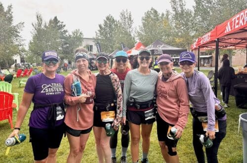
Next time you are dreaming up running adventures with your Trail Sisters, I encourage you to think beyond the routes you see repeated on Instagram or Strava. Get creative with planning your own loops or traverses. Explore a mountain range you’ve never been to before. Use the tools outlined above to help plan your route and find your way. And remember that sometimes even after the most careful planning you show up and a trail has been ravaged by fire or flood and is miserable to run on. Those are the days you will tell stories about next time you’re gathered around a map with your friends.