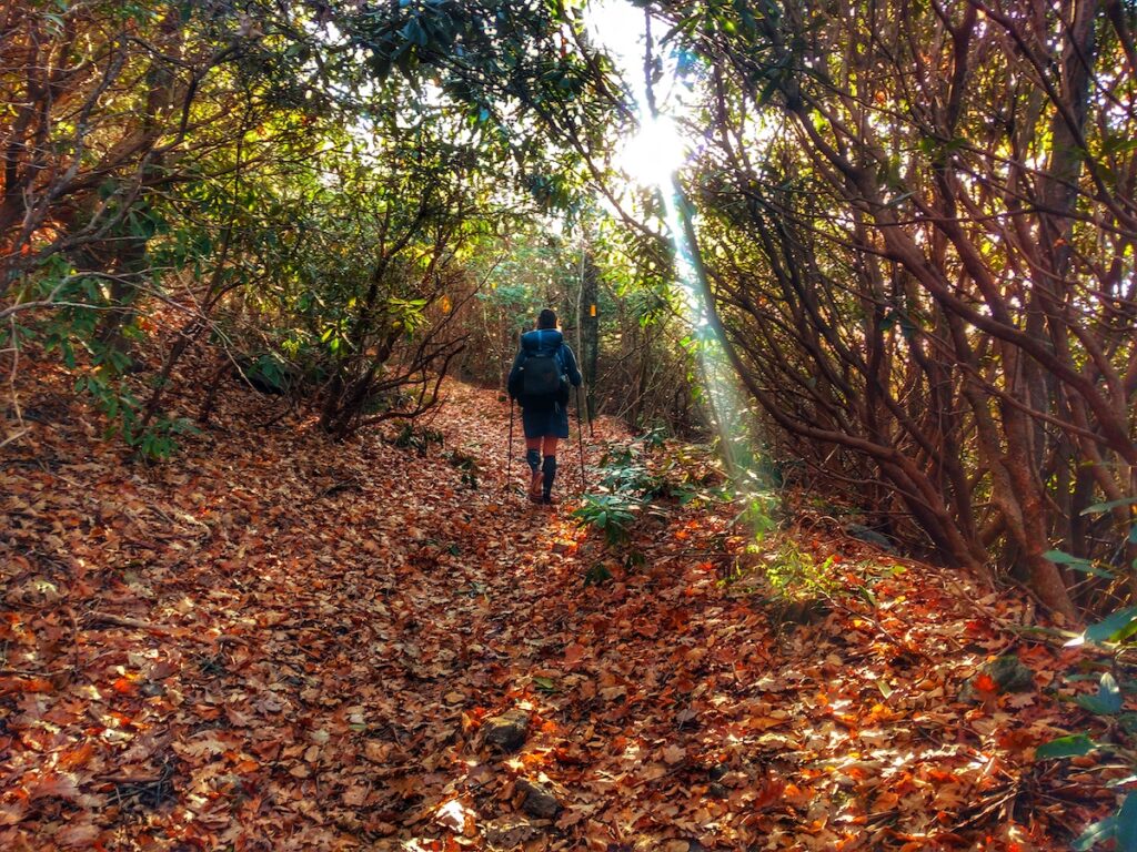
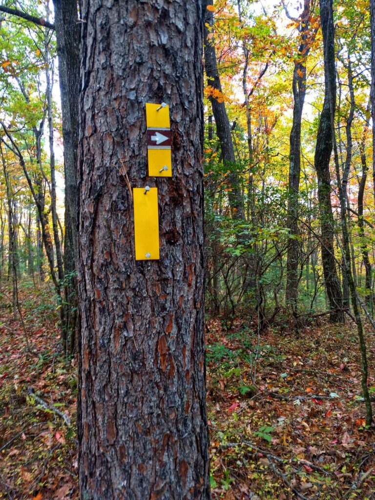
If you’re looking for a short, late season thru-hike, look no farther than the Bartram Trail. The BT is an ~115-mile-long trail that roughly retraces 18th century American naturalist, William Bartram’s exploratory route through the Southeastern United States. The entirety of the trail is within Georgia and North Carolina making it hikeable well into November and in some years even later into the winter. The trail’s southern terminus is on the Georgia/South Carolina State line near the Chattooga River at a place called Russell Bridge on Georgia State Route 28. There is no road access to the Northern Terminus which is atop Cheoah Bald in North Carolina—a summit on the Appalachian Trail near the Nantahala Outdoor Center. You have the option to hike out to the NOC on the Appalachian Trail or retrace your steps back down the Bartram to reach civilization from the northern end. The trail is marked consistently with yellow blazes as well as an assortment of wooden signs, carved rocks, and brown arrows.
Like most of the southern Appalachians, there is plentiful water and multiple roads to access resupply points. The character of the trail is many short ascents and descents in quick succession, making it intense as far as elevation gain and loss. There are two prolonged climbs going northbound—Wayah Bald and Cheoah Bald. There is also a 14-mile road walk in the middle of the trail, as well as another shorter one near the northern end which some people skip. While there are several opportunities to leave the trail for resupply in the nearby towns, the long road walk will take you right through Franklin, NC. Located about halfway through the trail, this town offers a supermarket, motels, and restaurants on route.
Below is a brief overview of the trail when hiked in a northbound direction.
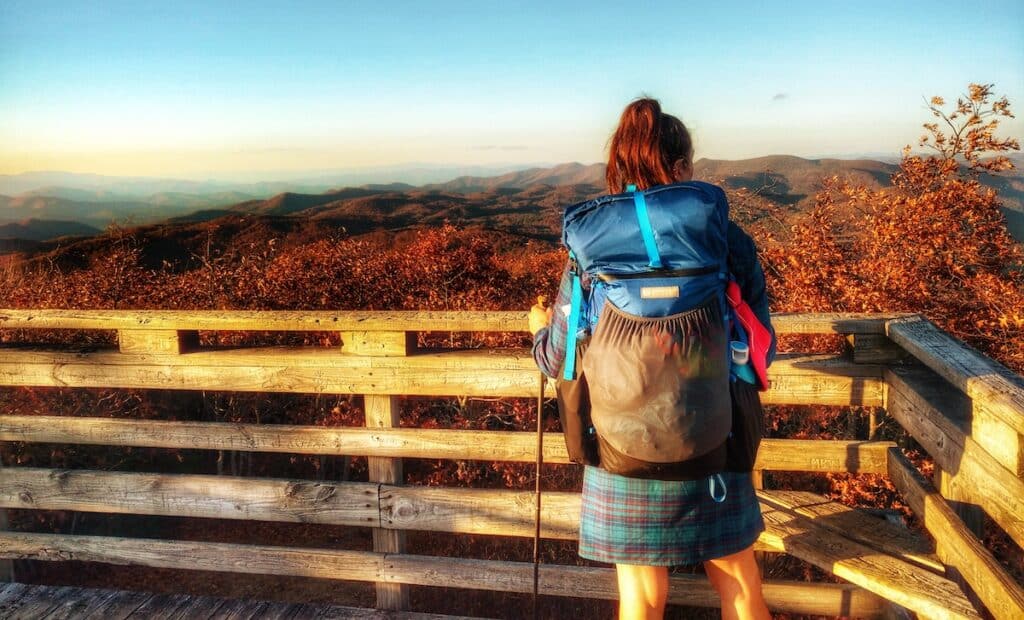
The southernmost miles wind along the Chattooga River and then begin a generally uphill trend until reaching the Eastern Continental Divide atop Rabun Bald. From there the trail dips back down, soon leaving the state of Georgia and entering North Carolina with successive ascents and descents through multitudinous gaps and over or near many summits including Scaly Mountain, Hickory Gap, Jones Gap, Whiterock Mountain, and Fishhawk Mountain. From the viewpoints you can frequently gaze westward across a wide valley to the ridgeline that the Appalachian Trail traverses.
After this roller coaster, the trail utilizes a paved road for 10 miles to reach Franklin, and then follows another set of roads another 4 miles to reach the Wallace Branch Trailhead. From there the BT ascends a long ridge trending uphill to the Appalachian Trail and Wayah Bald—the high point of the Bartram Trail. After merging with the AT and remaining concurrent for several miles, the two routes again diverge and the BT follows a west trending ridge toward Nantahala Lake.
At the SR1310 the trail again follows paved roads and then winds along old logging roads, near private property, and past obvious party spots complete with bullet holes and tin cans before crossing the cement bridge/roadway through the Nantahala River. During high water this is impassable by foot. After crossing the river, the Bartram Trail follows a gravel road for two miles to another paved highway which is used for a short distance to once again resume trail tread along the river. The BT winds up and down along the river, sometimes near and sometimes quite far from it before crossing over a ridge and eventually reaching a trailhead and merging onto the paved Mountain-to-Sea bike path. A mile and a half down the bike path the BT crosses Highway 19 at the Winding Stairs Trailhead and begins its final ascent up Cheoah Bald.
The final climb is steep, frequently crisscrossing Ledbetter Creek to its headwaters, before leaving it and ascending Little Bald Mountain. Shortly thereafter, the BT once again intersects with the Appalachian Trail and follows its white blazes less than half a mile to the end of the Bartram Trail on the summit of Cheoah Bald. From there, you can choose to retrace your steps to Winding Stairs or continue on the AT about eight miles to the Nantahala Outdoor Center.